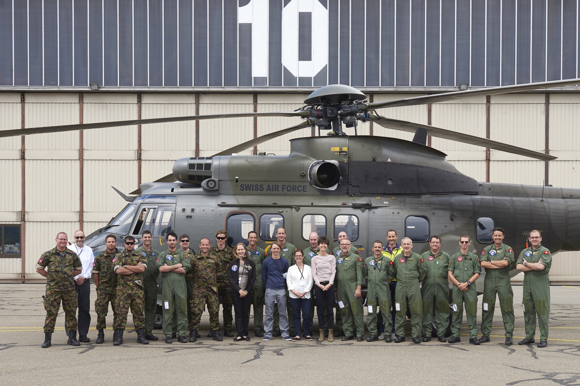
Annual NEOC radioactivity survey flights with international partners
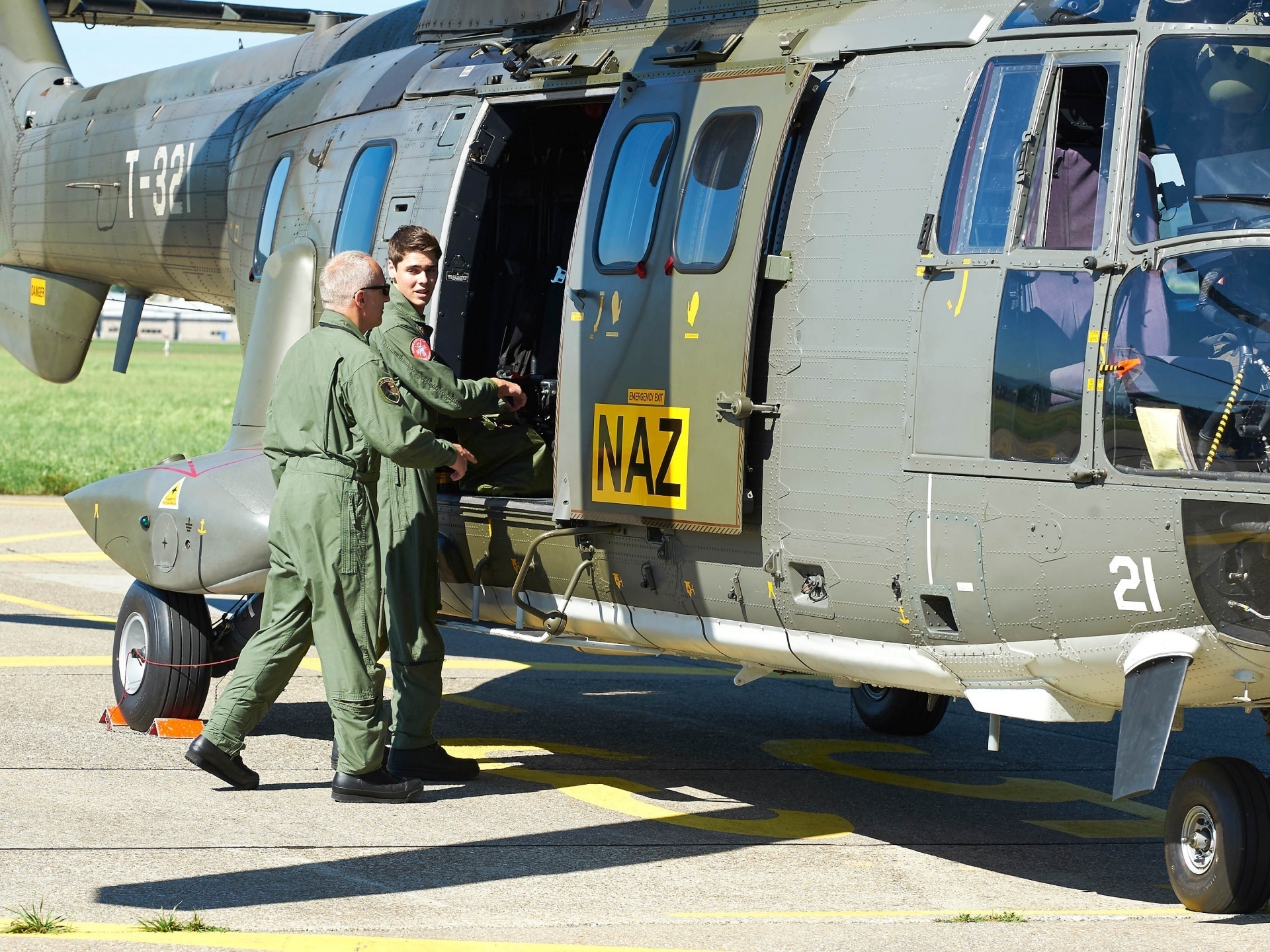
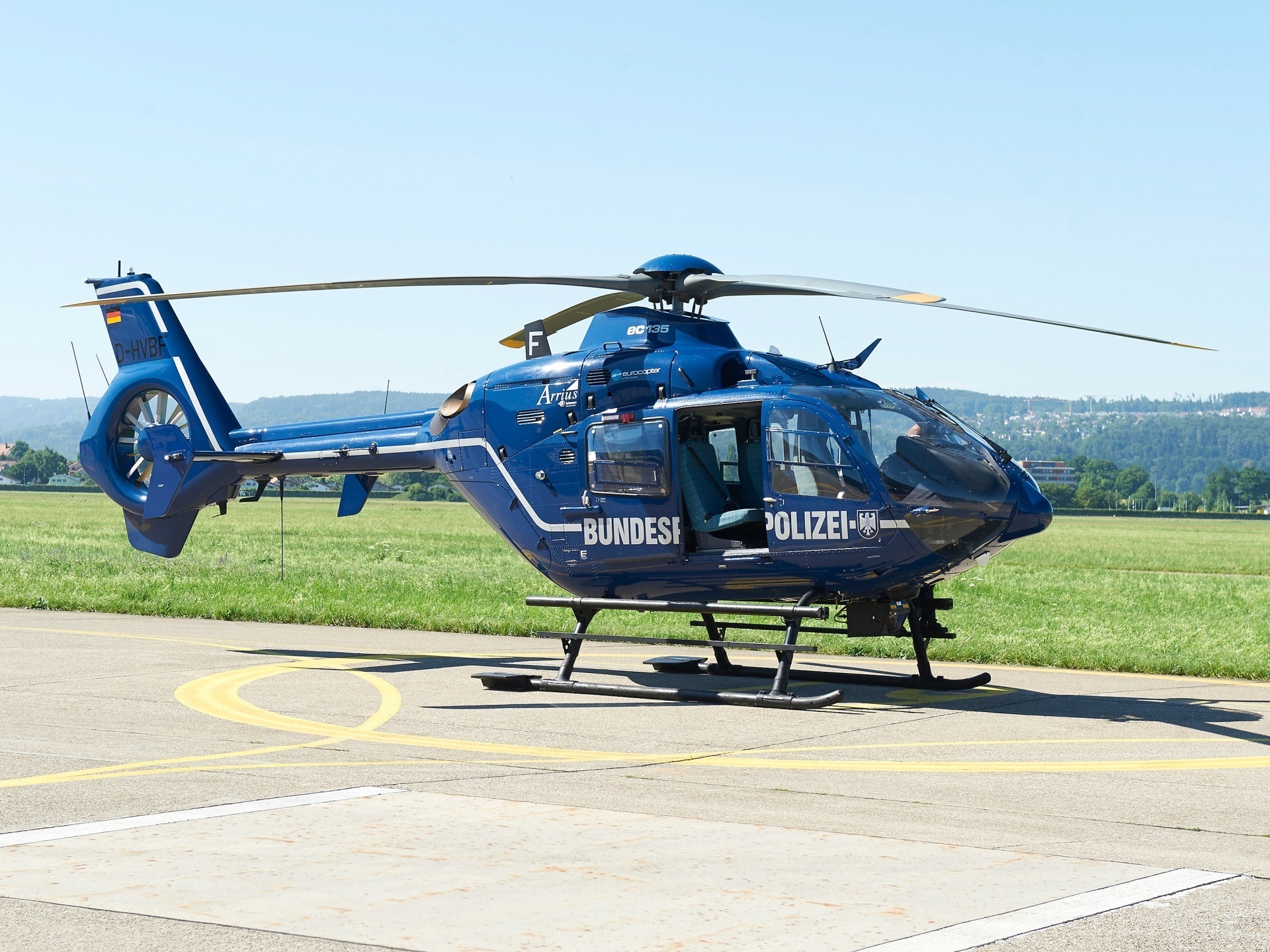
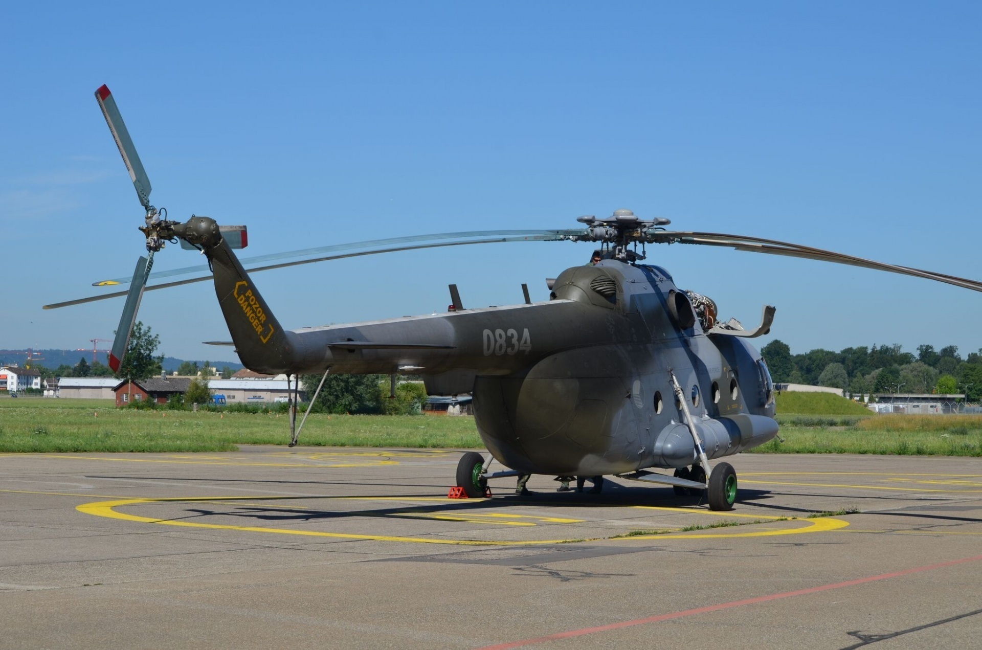
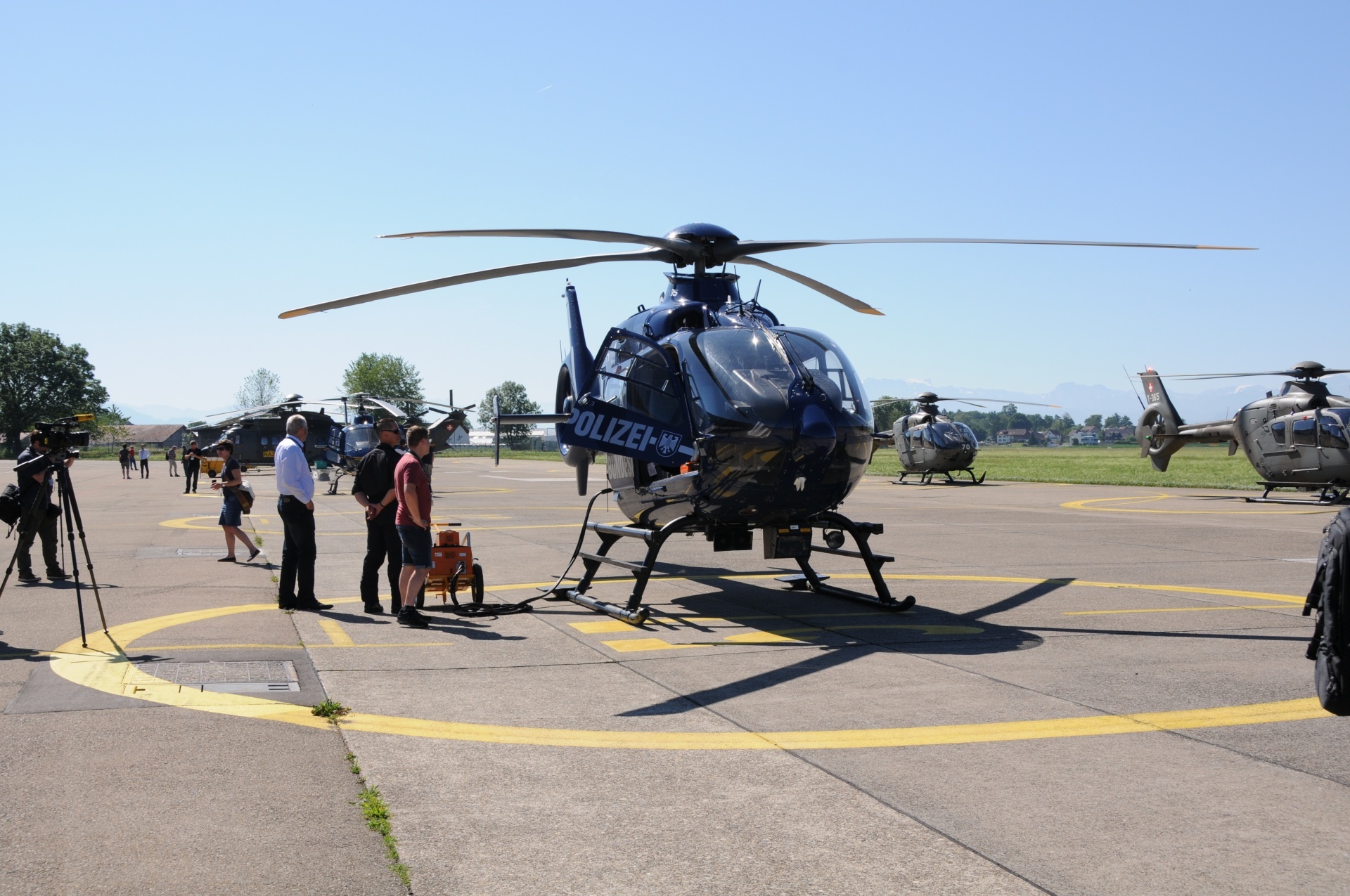
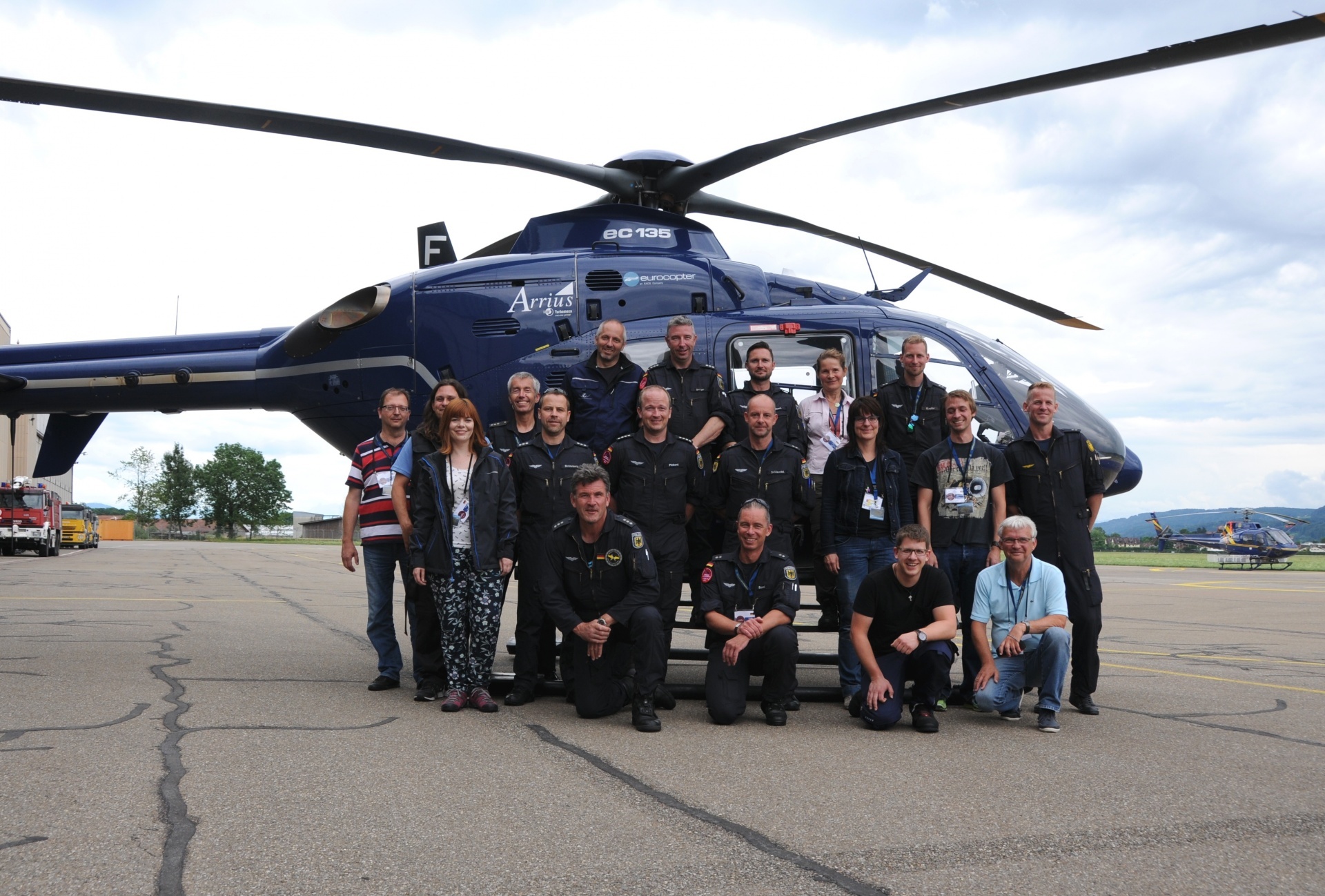
This year, the National Emergency Operations Centre’s (NEOC) annual radioactivity survey flights took place in Switzerland from 26 to 30 June. For the first time in ten years, measuring teams from Germany, France and the Czech Republic were invited to take part in joint measurement training exercises. Cooperation between countries is crucial in this matter, as it ensures that measuring instruments can be coordinated quickly and large areas of land can be surveyed efficiently in the event of an incident.
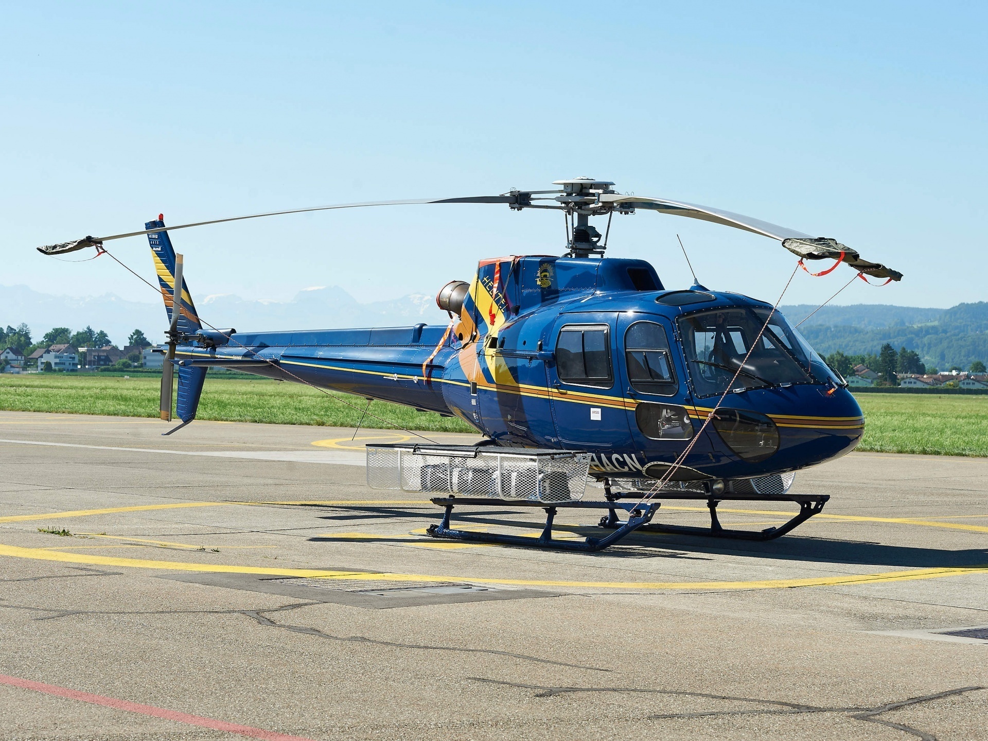
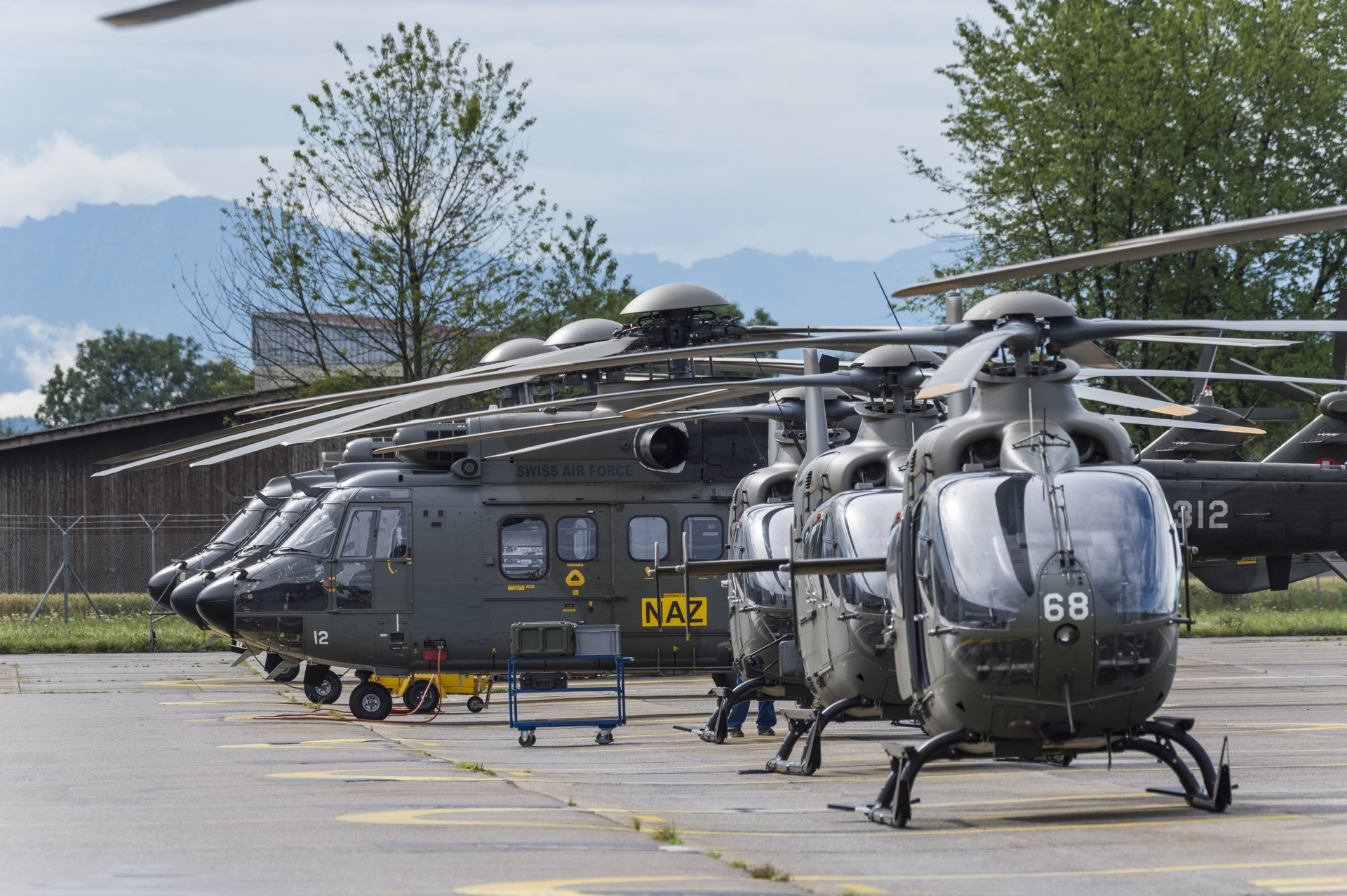
During the course of the 2017 measurement campaign, various areas in central and eastern Switzerland were surveyed from the air. These areas included the Linth Plain, the Murgtal, Lake Zug and the Rüti-Frauenfeld-Kreuzlingen-St Gallen region. Several modules were carried out in order to practice the coordinated use of measurement systems and helicopters.
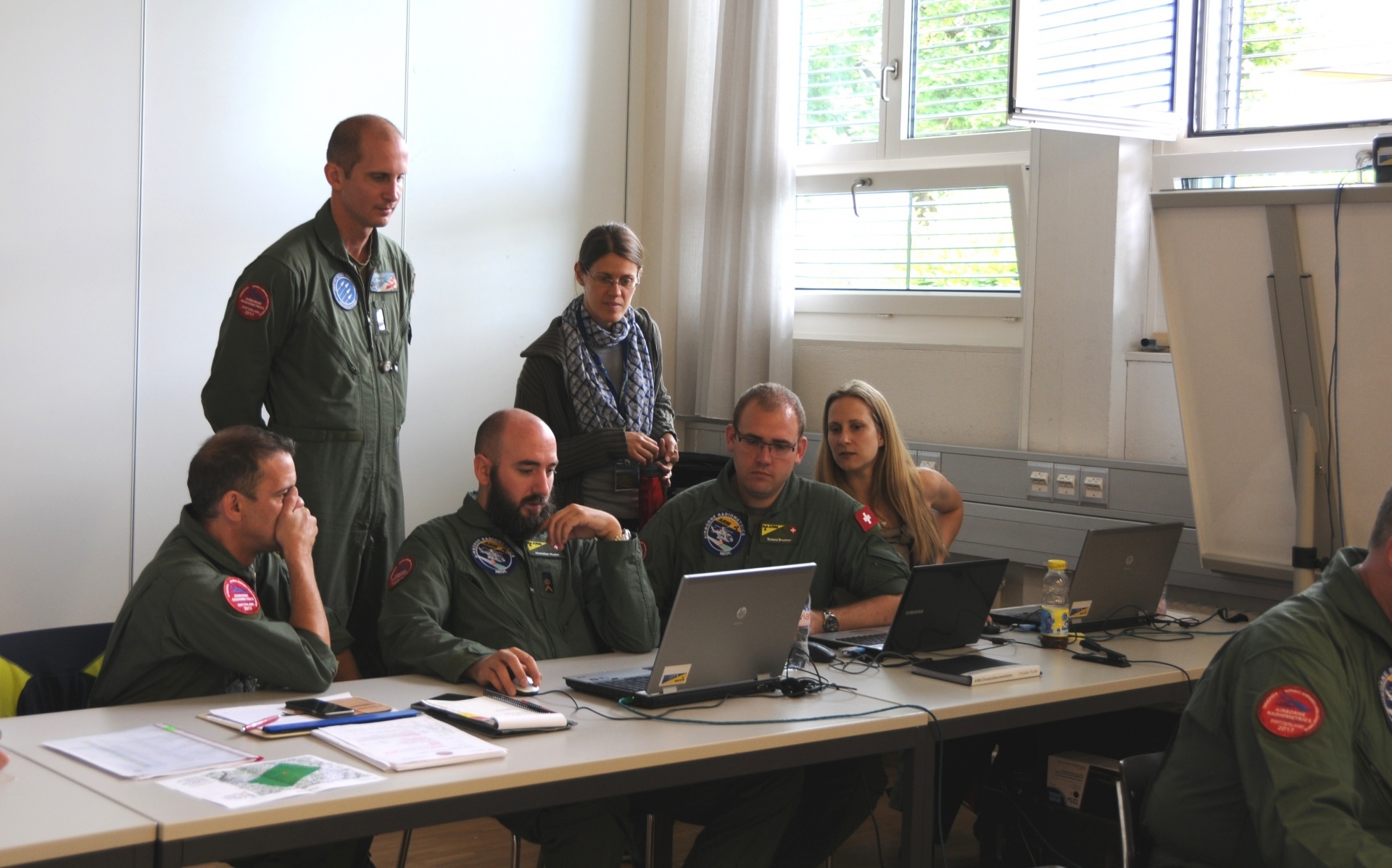
For the ‘reference areas’ module, all teams flew over the same areas under equal conditions (flight altitude, spacing of flight grids). The measurements taken by all teams will be compared in order to determine compatibility between measurement systems and data.
TV Report: This year’s airborne radiometrics are trained in Dubendorf (only available in German)
By contrast with other modules, instead of flying a grid pattern, the ‘elevation profiles’ module required point measurements to be taken at different altitudes. This served to examine the measurement system calibration, which yielded information about compatibility between the different systems. As usual, elevation profiles were carried out over water (Lake Zug), as it absorbs most of the terrestrial radiation and thus allows the influence of cosmic radiation to be evaluated and compared.
On Tuesday, 27 June, the joint search for sources took place in eastern Switzerland. The goal of this part of the exercise was to find two radioactive sources which, for training purposes, had been placed somewhere in an area of about 2,500 km². The sources were guarded, not publically accessible, and not harmful to people or the environment. The aim here was primarily to coordinate the survey flights in the area, which for efficiency reasons had to be divided between the measuring teams. Measuring the area and alternating flying were trained at the same time. The ability to jointly map a vast area and combine measurements, called composite mapping, is very important in the event of an incident and was therefore a key objective of this year’s aero-radiometry exercise.
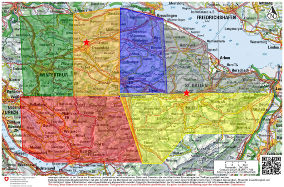
The fourth module on the programme focused on measuring the axis between Neubrunn and Wartau. The results of this module complement all zero measurements evaluated in Switzerland so far. In addition, measuring this axis brought with it various topographic challenges, since a certain flight altitude had to be constantly maintained even when flying over hills and mountains. This made for interesting survey flights as regards measuring and flying capabilities.
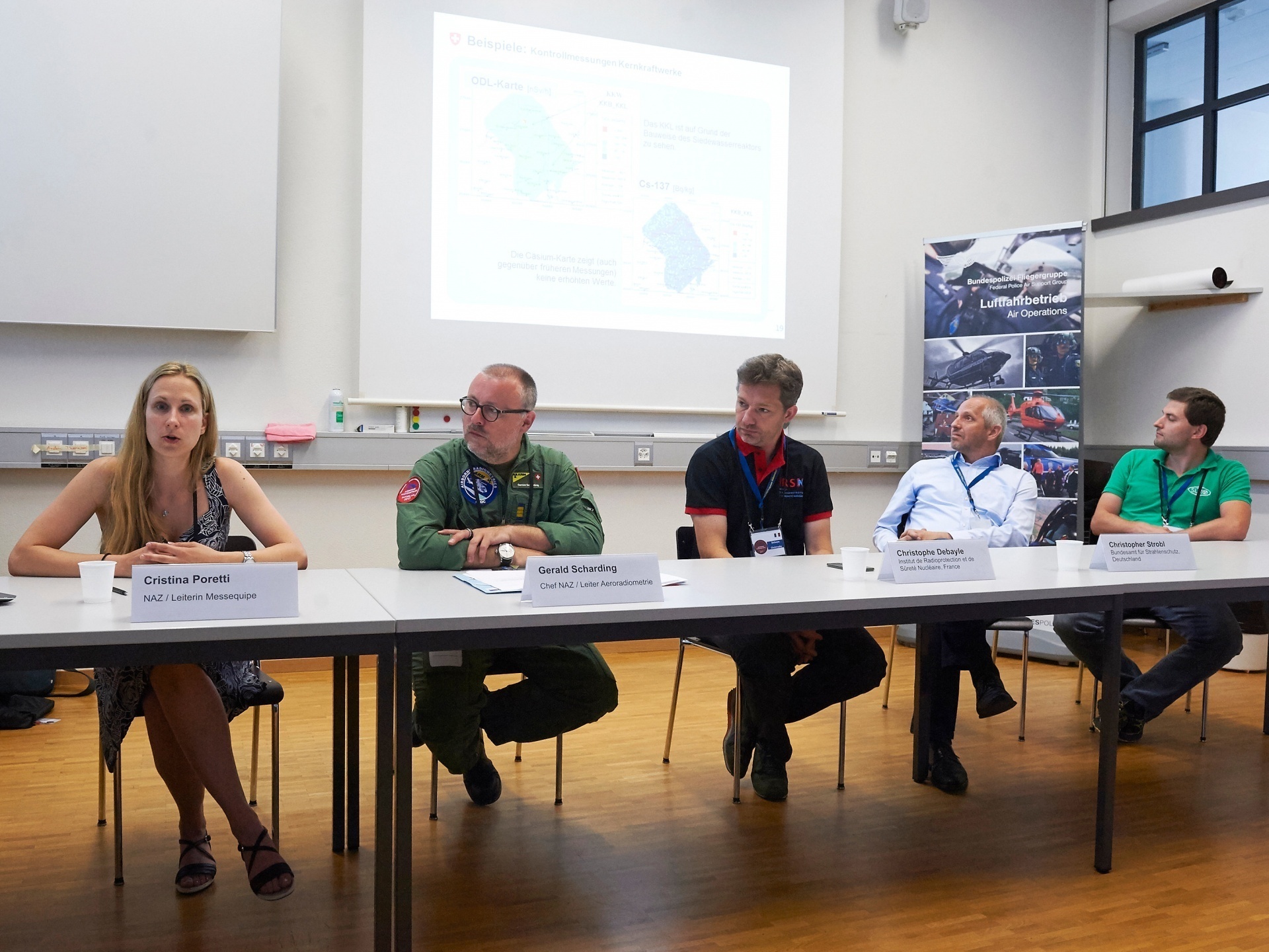
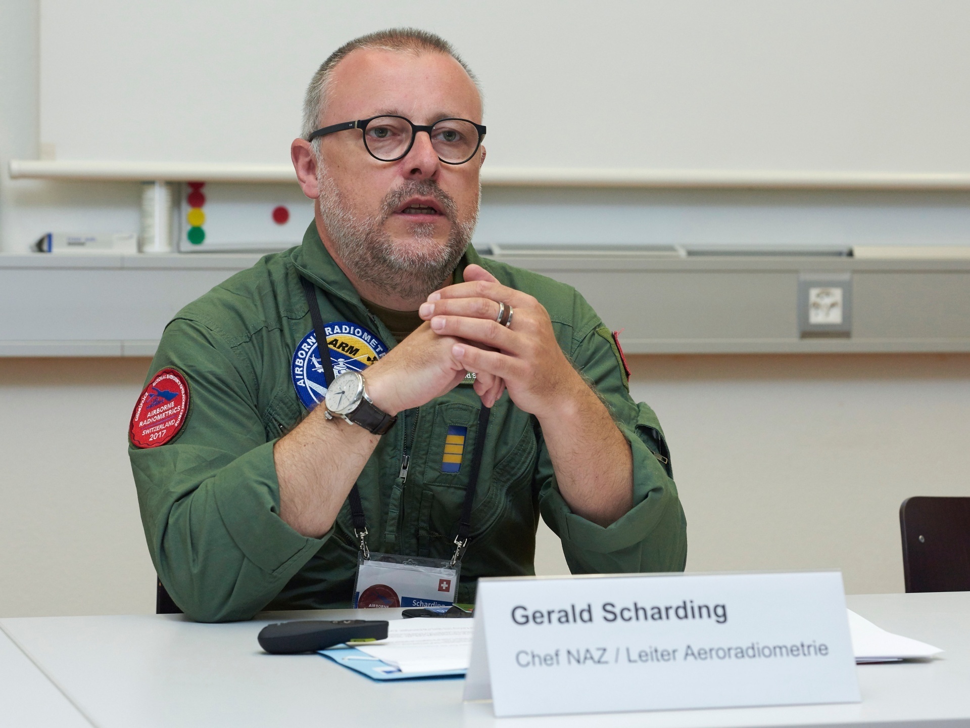
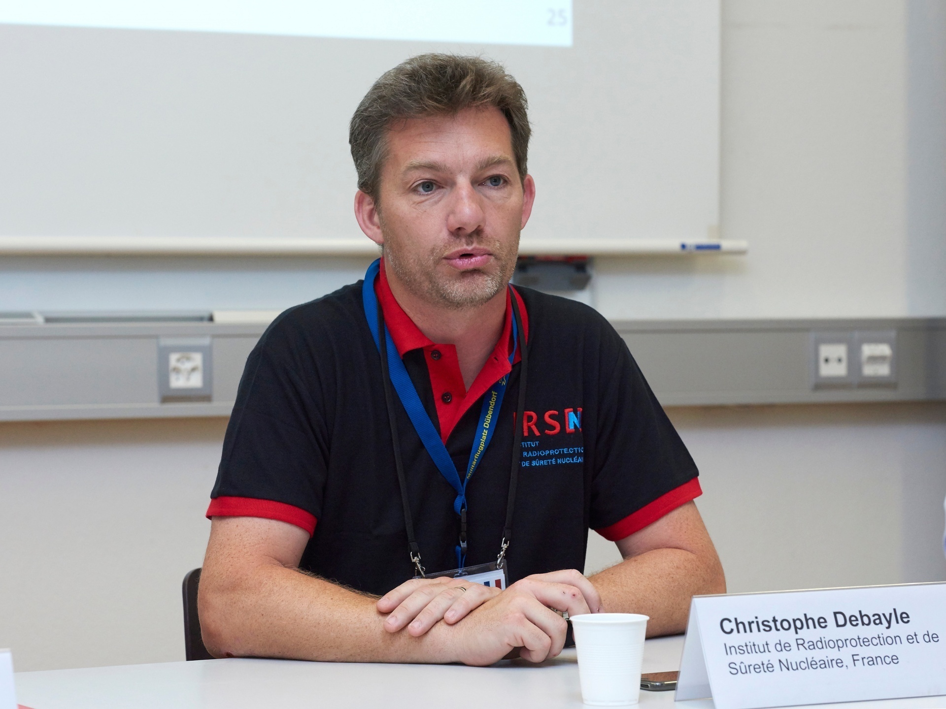
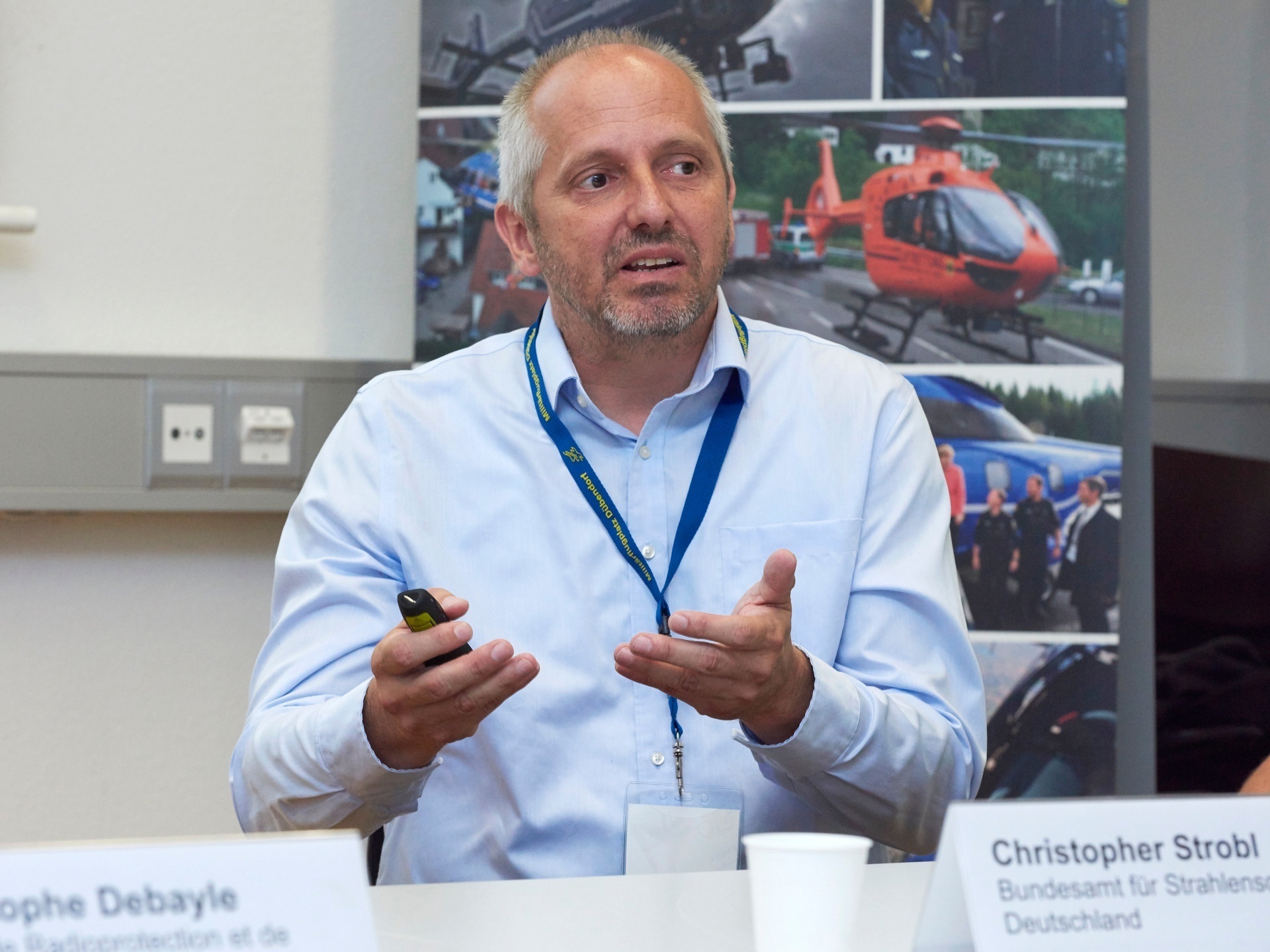
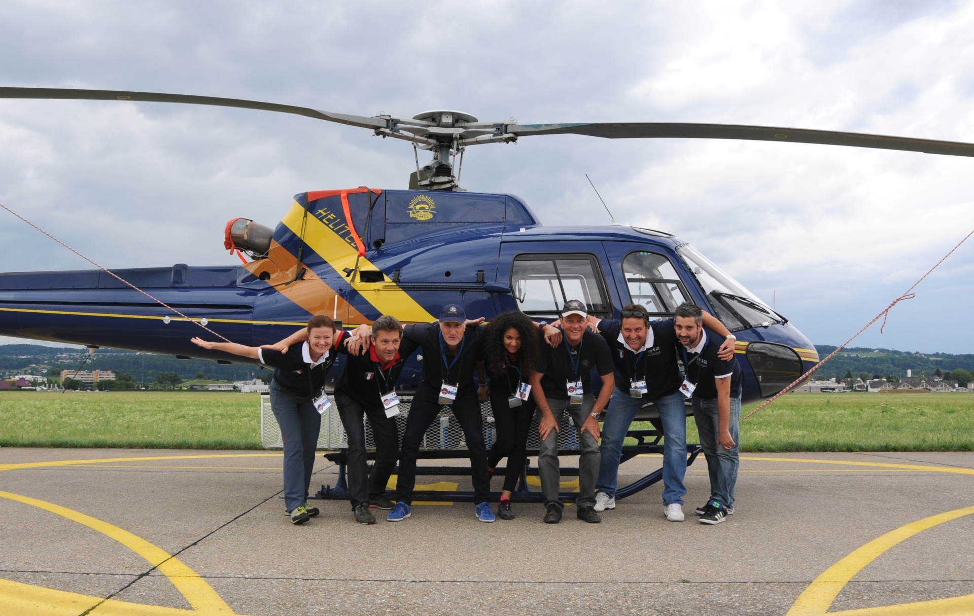
On Thursday, 29 June, international partners of the aero-radiometry expert group were invited to take part in the measurement and evaluation work, and to exchange information and experience with the participating teams. These kinds of exchanges – both between the individual teams and with the partners – are a central part of every international aero-radiometry exercise.
The 2017 international measurement week was a full success for all participants. The extensive preparations made in anticipation of this event were entirely justified, as it is due to the exchanges made between the international partners that aero-radiometry in Europe can be further developed. This means that in case of an emergency, measuring systems can be used across borders even more quickly and efficiently.